GPS and Navigation
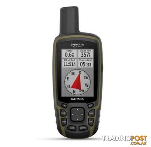
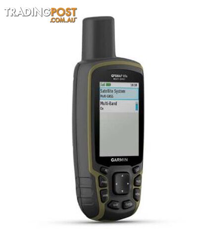
Garmin GPSMAP 65s Handheld Outdoor GPS Device - AUS/NZ - Black - 10-02451-12
$589.95
Verified seller
Description
Explore more with this rugged handheld that offers multiple frequencies for our most accurate position to date, a 2.6" color display and preloaded maps.
SKU: 10-02451-12
EAN: 753759257880
Physical Dimensions: 2.4" x 6.3" x 1.4" (6.1 x 16.0 x 3.6 cm)
Display Size: 1.43" x 2.15" (3.6 x 5.5 cm); 2.6" diag (6.6 cm)
Display Resolution: 160 x 240 pixels
Display Type: transflective, 65K color TFT
Weight: 7.7 oz (217 g) with batteries
Battery Type: 2 AA batteries (not included); NiMH or Lithium recommended
Battery Life: 16 hours
Water Rating: IPX7
High-Sensitivity Receiver
Interface: high speed mini USB and NMEA 0183 compatible
Memory/History: 16 GB (user space varies based on included mapping)
Sensors: GPS / GLONASS / GALILEO / BAROMETRIC ALTIMETER / COMPASS / GPS COMPASS (WHILE MOVING)
Don't miss a detail with this large, sunlight-readable color display.
Lead the way in challenging locations with multi-band technology and expanded GNSS satellite support.
Cross the countryside with routable TopoActive maps for the Australia and New Zealand.
Plot your next move with built-in navigation sensors.
Organize your adventure from anywhere with the Garmin Explore website and app.
Travel with up to 16 hours of battery life in GPS mode.
Multi-band technology and expanded GNSS support (GPS, GLONASS, Galileo, QZSS and IRNSS) provide optimal accuracy in steep country, urban canyons and forests with dense trees.
Navigate every trail with ABC sensors, including an altimeter for elevation data, barometer to monitor weather and 3-axis electronic compass.
Preloaded TopoActive Australia and New Zealand maps show you terrain contours, topographic elevations, summits, parks, coastlines, rivers, lakes and geographical points.
An optional display of federal public land boundaries on topographical maps helps you know that you're venturing where you're supposed to be.
Receive emails, texts and alerts right on your handheld when paired with your compatible device.
Plan, review and sync waypoints, routes and tracks by using the Garmin Explore app and website. You can even review completed activities while still in the field.
Get paperless geocaches by uploading GPX files straight to your device. View key information such as location, terrain and hints from Geocaching.com.
Using your compatible device and microSD memory card, conveniently download TOPO 24K maps and hit the trail, or access HuntView Plus maps to see public land types and boundaries as well as private landowner names and boundaries.
In The Box
GPSMAP 65s
USB cable
Carabiner clip
Documentation
Visit our website to view thousands more products like this and order online at:
$589.95
Your message is on its way
The seller will be in touch. We monitor all messages to help keep buyers and sellers safe.
Stay safe: buyer safety tips
T
Tradingpost sellerVerifiedVerified Tradingpost seller
You may also like
 GPS and Navigation
$1$589 less
CANBERRA CAR DOCTOR 24/7 - We Come to You Anytime
 GPS and Navigation
$25$565 less
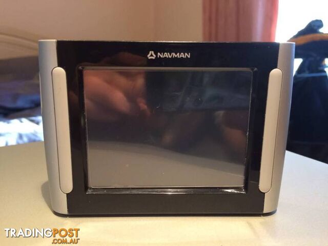
NAVMAN IN CAR GPS IN WORKING CONDITION COMES WITH USB CABLE
 GPS and Navigation
$25$565 less
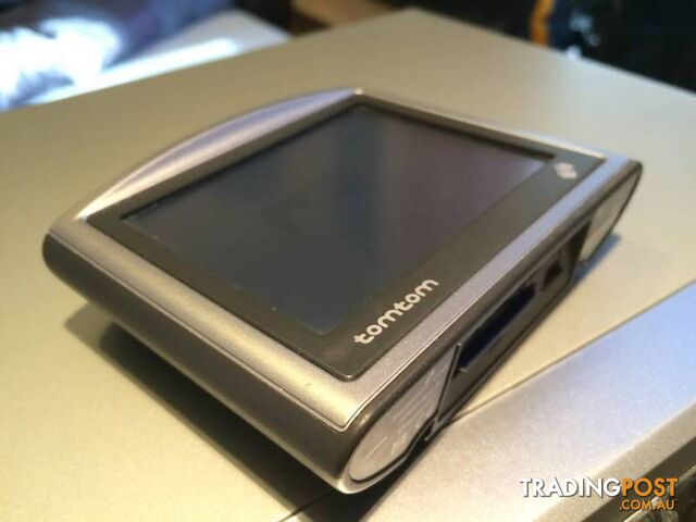
TOMTOM IN CAR GPS IN WORKING CONDITION COMES WITH USB CABLE
 GPS and Navigation
$39.99$550 less
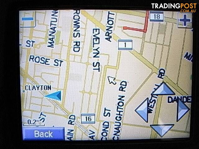
GARMIN STREET PILOT C320 GPS. good condition come with sd card
 GPS and Navigation
$29.99$560 less
NEW Vodafone usb 3g modem COMES WITH SIM CARD AND 3GB OF DATA INC
 GPS and Navigation
$59$531 less
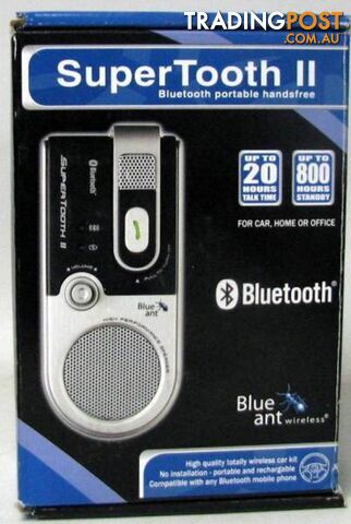
NEW BLUEANT WIRELESS SUPERTOOTH II BLUETOOTH PORTABLE HANDSFREE
 GPS and Navigation
$39$551 less
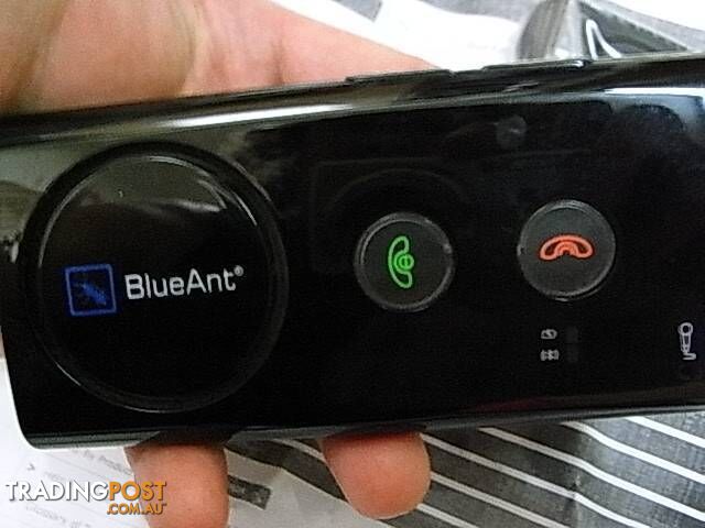
BlueAnt Supertooth 3 N15417 (model BTSVBC3) Bluetooth hands-free
 GPS and Navigation
$69$521 less
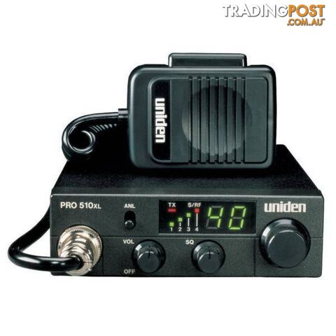
Uniden PRO510XL CB Radio w/7W Audio Output - ANL Switch/Compact
 GPS and Navigation
$1,199.95$610 more
Garmin Montana 750i Handheld Hiking GPS Device - AUS/NZ - 10-02347-02
 GPS and Navigation
$899.95$310 more
Garmin Montana 700 GPS Navigator - Topo AUS/NZ - 10-02133-04

Message seller
About Garmin GPSMAP 65s Handheld Outdoor GPS Device - AUS/NZ - Black - 10-02451-12
Report this ad
Tell us what's wrong with this listing.